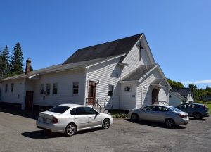
Cary has been a plantation in Aroostook County since its organizational status was confirmed on March 5, 1895. It had several legislative “organizations” as a plantation (1849, 1854, 1859) under the name T11 R1 WELS. The 1880 population was 413; in 1890, 390. With a population declining to 189, the plantation successfully “deorganized” the plantation in favor of becoming a township in June of 2019.
The small population coincides with its physical size. Cary is what is called a “half township.” Most townships have been laid out to be six by six-mile squares. Cary, sandwiched between Amity and Hodgdon, is six miles east-west but only three miles north-south. Its “main street” is a little over three miles on U.S. Route 1. The name is in honor of Shepard Cary, a prominent lumberman in the area, State Legislator, and member of Congress. — Maine, an Encyclopedia.

